The VERITÀ Way® to a Career in Telecommunications - Apply Now

Search
Close this search box.

Design & Engineering

The VERITÀ Way®

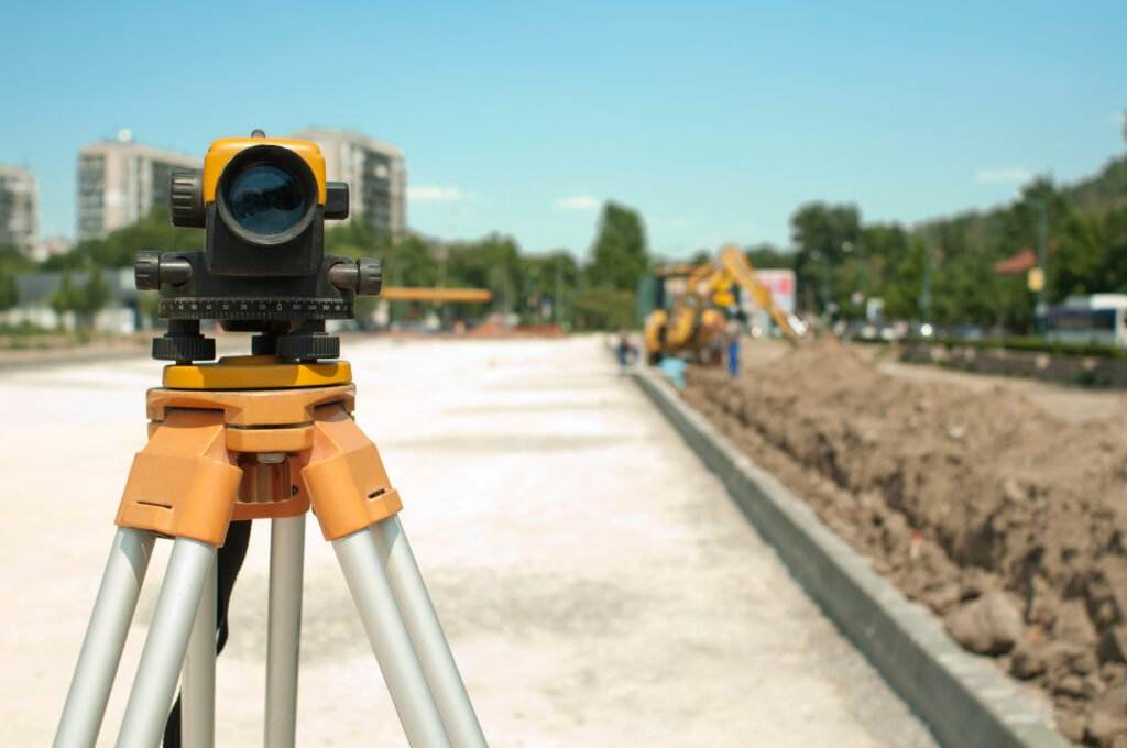
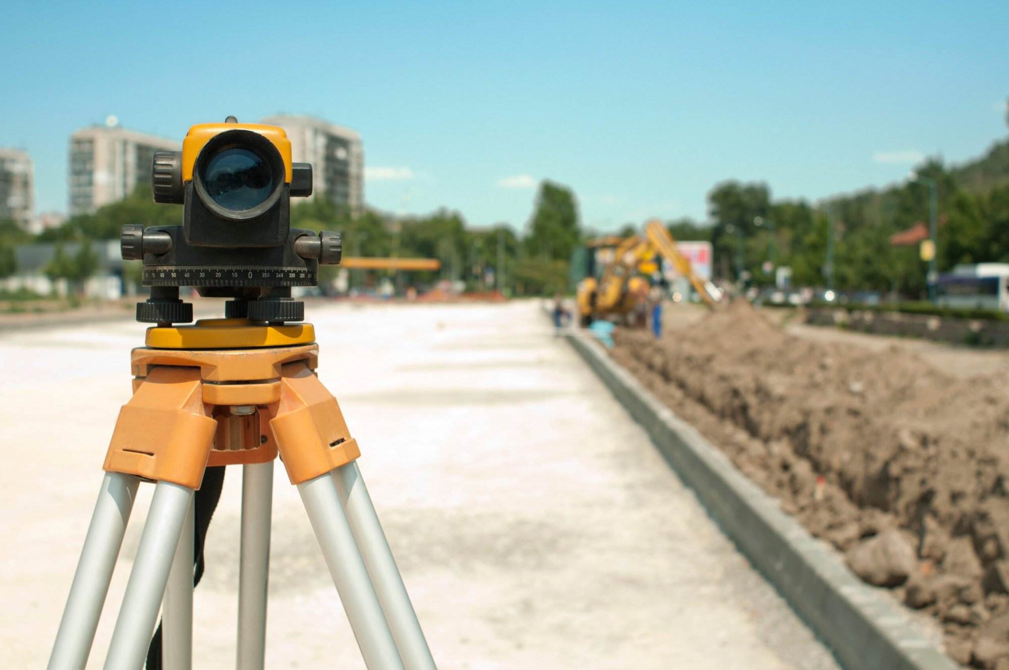
At VERITÀ®, process is paramount. We guarantee that from beginning to end, our design and engineering services follow the right steps to success. This involves studies, surveys, analysis, and design with consistent and ongoing audits. These key steps allow for Verità to deliver services while keeping up with the speed of technology. With advanced equipment, state-of-the-art technology and a skilled team, VERITÀ is dedicated to becoming a seamless part of the success of each project.

With VERITÀ’s engineering, design and permitting team, you can take your infrastructure plan from concept to construction with ease.

Designed Right

Our process begins with feasibility studies being conducted to create an executive summary of the project ahead while describing the product or service to be offered. We take into consideration: technological concerns, marketplace identification and a comprehensive marketing strategy, while at the same time structuring a detailed schedule in order to prepare for the design and implementation steps to be taken.

VERITÀ’s drafting & design team will take your concept and translate it to design. Utilizing the platforms necessary, they are proficient in AutoCAD, Bentley Map, OCALC, Pole Foreman, Load Data, ARAMIS, & Map 3D. Our talented, highly skilled team are even able to adapt and learn your proprietary platform.

Placed Right

VERITÀ determines current site conditions through:

This is done in accordance with local utilities and municipalities/townships to adhere to all regulations associated with the project. In the acquisition of the site we:

Designing of fiber routes and schematics are then developed and audited frequently along the way. In addition, if applicable, a pole load analysis is conducted to ensure structural integrity and delivery of service.

GIS Analysis

Geographical Information Systems are a robust communication and analysis tool used in the creation, management, and mapping of various types of data. GIS systems are essential in the comprehension of identified patterns and the relative geographical space.

VERITÀ understands GIS systems are elemental in the processing of complex problems regarding the mapping out of extensive amounts of data and constantly strives to utilize them to their fullest potential.

Mapping The Road Ahead

VERITÀ utilizes GIS inventory to allow for expedited searching of GIS data. This fulfills the needs of both businesses and government bodies with the coordination and creation of spatial data infrastructures. VERITÀ achieves this through:

VERITÀ’s field mapping & walkout team will take a high-level desktop design and field verify the efficiency and accuracy of that design. Equipped with ikeGPS units, live data tablets with ArcMAP, laser measuring, as well as traditional measuring tools, this team will translate the desktop design to reality.

Execution

VERITÀ collects, processes and tracks all GIS data combining:

To create optimized and efficient geographical information systems which serve to improve communications and better manage the moving pieces of data that drives your needs.

0 +
Telecommunications Experts
0
Incident-Free Hours
0
Job Sites
0
Drill Rigs

Featured Project

Project Name

Lorem ipsum dolor sit amet, consectetur adipiscing elit. Ut elit tellus, luctus nec ullamcorper mattis, pulvinar dapibus leo.